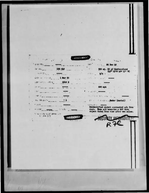
1949-12-9612863-500mi-SEofNewfoundland-43deg45N40deg47W-
Document Text (OCR)
i, 86 Deo bg. 500 mi. SE of Newfoundland “7 (43° 45"N yoo 47" w) mon pvavy, «Radar (Aerial) Unidentified object approached a/c from” reare When a/c-executed a 90° turn object faded from view after two miles. Paleo ry ASLO Poa yu . () Jan 5°) ____ AIR INTELLIGENCE INFORMATION REPORT 7 Yuidensified iader Tarzet ui nN, Ferlterg ERENCES (Contre wuinder, dred j Hone SUMMARY: (Enter comcios euramery of repert, Give signifcenes ta Anal one-sontonss Serepraph. Ziel tacloouren et lowe Kft. Boqin test of...